
Tien-Shan Trekking – Trekking in the Tien Shan Mountains
| Key Information Tour Duration: 11 day(s) Group Size: 1 – 14 people Destination: Uzbekistan Location: West Tien-Shan Mountains Specialty Categories: Mountain Trekking/Mountain Climbing Grade: Moderate to fairly challenging Season: June – October International Airfare Included: No Local Transportation Included: No Foodstuffs (survival ration) Included: Yes Personal Travel Insurance Included: No Personal Equipment Included: No Tour Customizable: Yes Mountain Guides Service Included: Yes Porters Availability: Yes Cook Availability: Yes Guide/Climbers Ratio: beginners – 1:5; advanced – 1:7 (maximum limit) Download a Map: 2736×1920 1,25 МБ (1 314 816 байт)Trek Price Per Person – Contact information https://t.me/ClimberCA – telegram WhatsApp / Viber +7966 065-53-44 e-mail – your@climberca.com Day 1. Мар. We start from the Railroad station in Tashkent at around 8 o’clock in the morning. In about two hours we arrive by train to the Hojikent station. It is a first point of the trek, which is located at a height of 880 m. We start climbing southward following the Bulaksu River back to its sources. Halfway rest, lunch under the shady trees near to one of the Bulaksy River’s sources. After lunch we continue climbing toward the Bulaksu Pass 1900 m (+1020 m). You get a splendid view of the Chimgan area from the Bulaksu Pass. There is water welling up from the earth near to this pass. This is a place of the first camp.
Note: For the first two days you will have minimum of package, all your spare packages will meet you at the end of second day in Camp 2.
Day 2. Map. Today we make our way towards the Greater Chimgan Mountain. We pass Akshurang then climb to the Mingtukum Mountain (1960 m), walk down the ridge to the Archaly Pass (1595 m) and then hike a bit eastward to Kiziljar. This is a place of our camp 2. Towards evening we climb to the Kiziljar Mountain (1900 m) in order to take pictures of the Greater Chimgan Mountain from arguably the most optimal earth-based view point.
Day 3. Map. Repackaging in order to take outfit and foodstuff for the next 6 days. Use of service of the mountain porters is recommended. Our target for this day is the Beldersay river, which springs from highland between West Ridge and Southwest Ridge of the Greater Chimgan Mountain. During first half of this day we climb to West Ridge (Northwestern Spur), pass the Tahtajaylau Saddle (2190 m) and then descend to the Marble Rivulet. Halfway rest, lunch, excursion downstream of the rivulet. After rest we climb to Western Spur of West Ridge towards the Urta-Kumbel Pass (1850 m). From the pass we descend to the Beldersay River, where we set up our third camp.
Day 4. Map. Today we go south-westward via the Chet-Kumbel Pass (1880 m) to the place of confluence of the Bercota River with the Nurekota River near to the Nurekota village.
Day 5. Map. Map. Climb up the Akkul Ridge – reach the Imetey Mountain (2731 m) – roundabout the Akkul Mountain (2886 m) – set up a camp before one reaches the Aksakota Pass.
Day 6. Map. Climb up the Aksakota Pass (2450 m) – move to the Minjilki Ridge – hike northeast by the ridge via the Karangur Mountain (2942 m) and the 2852 m Mountain to the Pulathan Pass (2590 m) – set up a camp near head waters of the Karaarcha River.
Day 7. Map. Excursion to the Pulathan Plateau – return to the camp. Pulathan looks as if it has been sliced off the mountain range (highest point of the Pulathan Plateau is 2823 m). Over time, many caves have been formed by the water which accumulates there. One can climb Pulathan only from the Pulathan Pass; it is inaccessible from the other sides.    Natural Mountain environment of the West Tien Shan’s highlands. Day 8. Map. Return to the Mingjilki Ridge. Transfer lengthwise the Mingjilki Ridge: the Mingjilki Mountain (2842 m), the Jar Mountain (2936 m), the Tahta Pass (2620 m). Set up a camp near the place, called Lazurnie Lujayki. In the environs of the Mingjilki Pass it is possible to explore petroglyphs picturing. The age of these rock paintings amounts many thousands years. In the area one can frequently encounter the ruins of ancient settlements, burial mounds, and, of course, petroglyphs on the rocks.
Day 9. Map. Change of the porters, other porters, full of strength, bring fresh foodstuffs to this place for the next three and a half days. Repackaging and then ascent to the Greater Chimgan Peak (3309 m). Descent to the Komsomolec Pass (2700 m) of Central Ridge. Set up a camp.
Day 10. Map. Descent to Aukaska tract. Rivers Semizsay, Tectoshsu, Mazarsay. Crossing NE Ridge of the Greater Chimgan Mountain, descent to Kuyluksay river. Set up a camp near to the place, called Vodoprovod. Towards evening – excursion to the snowfield and rocks upriver Kuyluksay.
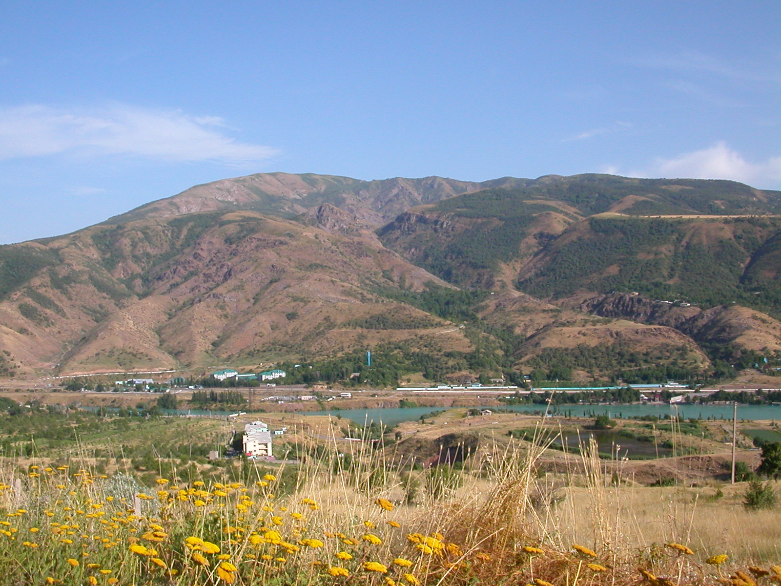
Day 11. Map. Hike to the Kuchkinakuksay River, passing picturesque gorge of the Gulikamsay river, deccent to Yangikurgan village. Hike to the shore of the Charvak vater reservoir. Set up a camp. Day 12. Rest ashore the Charvak Water Reservoir. Departure for Tashkent at about noon.
|


